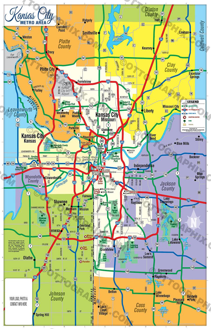
Kansas City Metro Map - FILES - PDF and AI, editable, vector, royalty free
This page is for the sale of DIGITAL FILES. Poster Print link is below or request it here
PURCHASE INCLUDES:
Ready-To-Use PDF with blank box for company branding, and
Layered, editable Adobe Illustrator CC file with fonts
SIZE: 11w x 17h - Vector Maps: enlarge or reduce to any size without loss of quality
COMMUNITIES:
- Caldwell County
- Cass County
- Clay County
- Clinton County
- Jackson County
- Johnson County
- Leavenworth County
- Platte County
- Wyandotte County
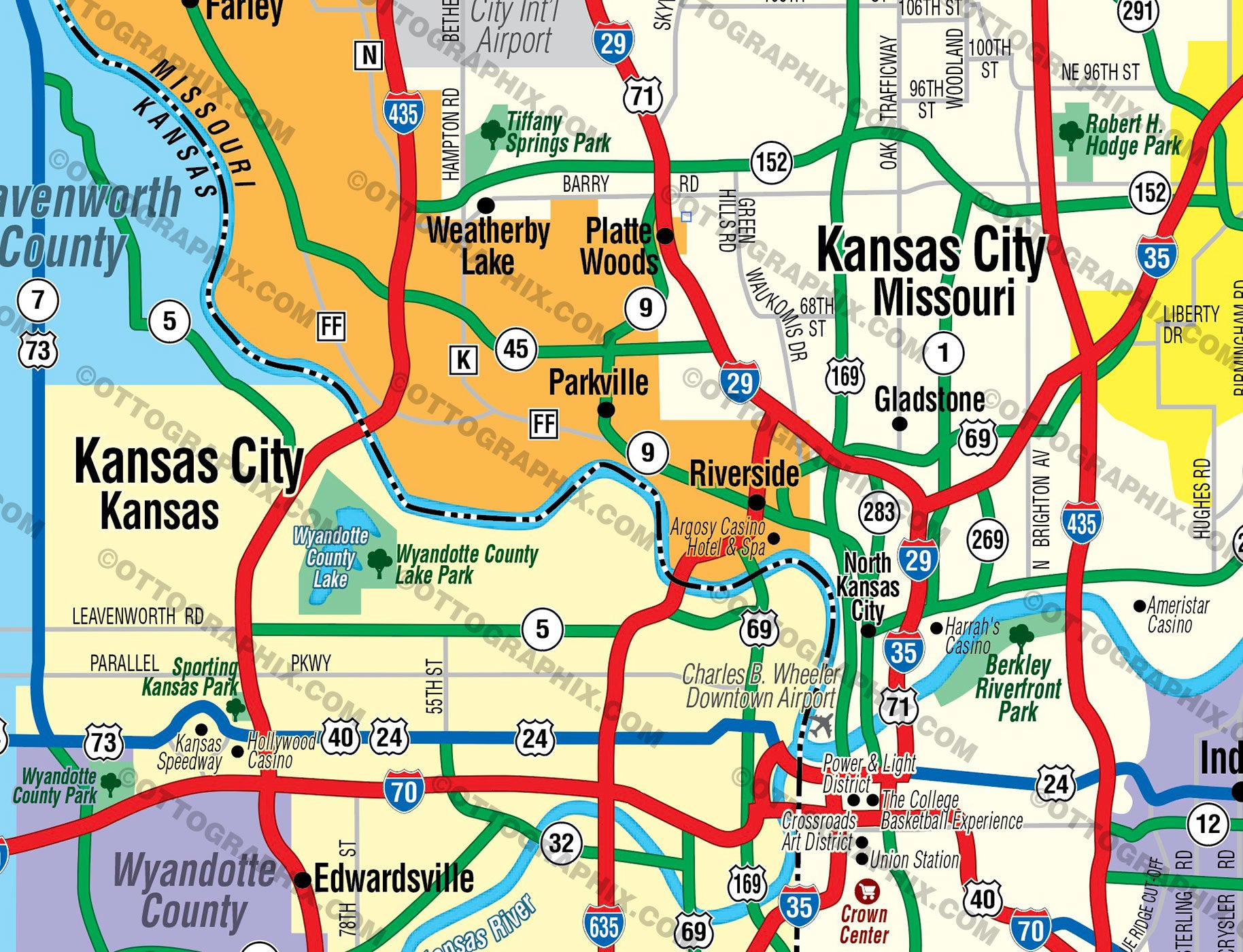
CONTAINS:
- County Boundaries and Index
- Arterial Detail
- Parks
- Golf Courses
- Schools
RIGHTS:
- Royalty Free
- Not for resale
- All reproduction rights granted
CUSTOMIZATION:
- Clearly labeled layers. Turn any map feature on and off.
- Maps are sold as-is. All necessary files are included for editing
- Additional customization is available from Ottographix at an additional cost. Please contact us for deatils and a free quote! http://www.ottographix.com/contact.html, 619.339.3129, info@ottographix.com
DISCLAIMER:
The information on this map was derived from multiple sources. Care was taken in the creation of this map. Ottographix cannot accept any responsibility for errors, omissions, or positional accuracy. However, notification of errors are appreciated. If you find a mistake, Ottographix will fix it for no charge. Please contact us and we'll take care of it. http://www.ottographix.com/contact.html, 619.339.3129, info@ottographix.com
Kansas City Metro Map - FILES - PDF and AI, editable, vector, royalty free